Knowing I was going to be in just before midnight, I never lingered long while taking pictures. There is no sense in making a long drive dangerous by being tired on the road.
Dave and I were up mid morning and hit the road. We passed by Banff and Lake Louise and crossed into BC, winding up at Yoho National Park.
We began our journey with some quick elevation gain following the Iceline Trail. Dave reckoned that doing the more difficult hike when we had lots of energy would be better. I found it challenging with a 30lb pack, but still very manageable. There were constant and spectacular views, but I was less able to enjoy them as my shoulders complained of their load.
 |
| Master Mountaineer in Repose |
 |
| Dave looking small under ominous clouds |
 |
| Isolated Peak looks quite Tolkienesque from this angle |
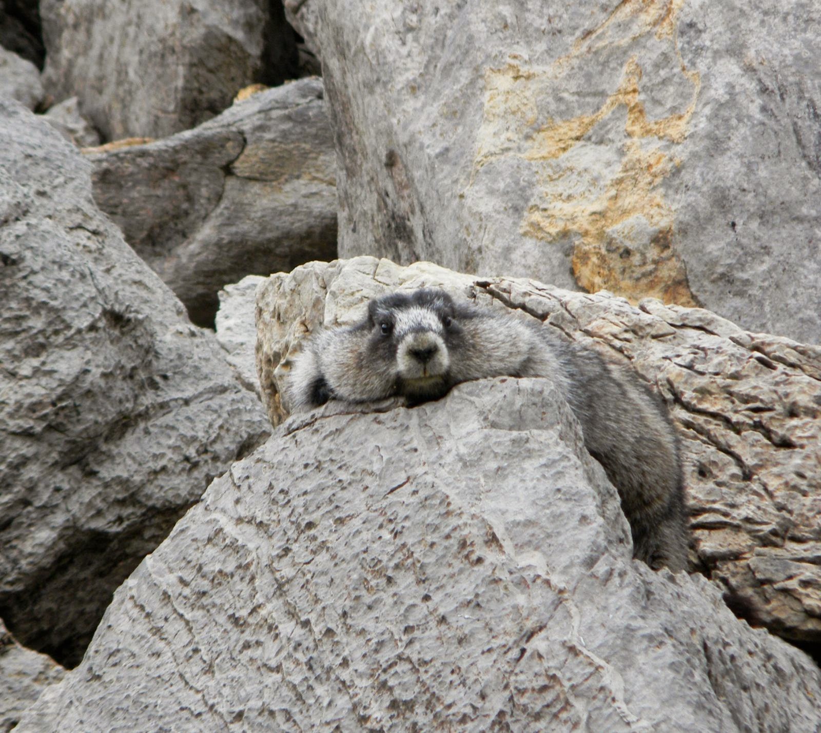 |
| This marmot had good camouflage, but terrible flight instinct. |
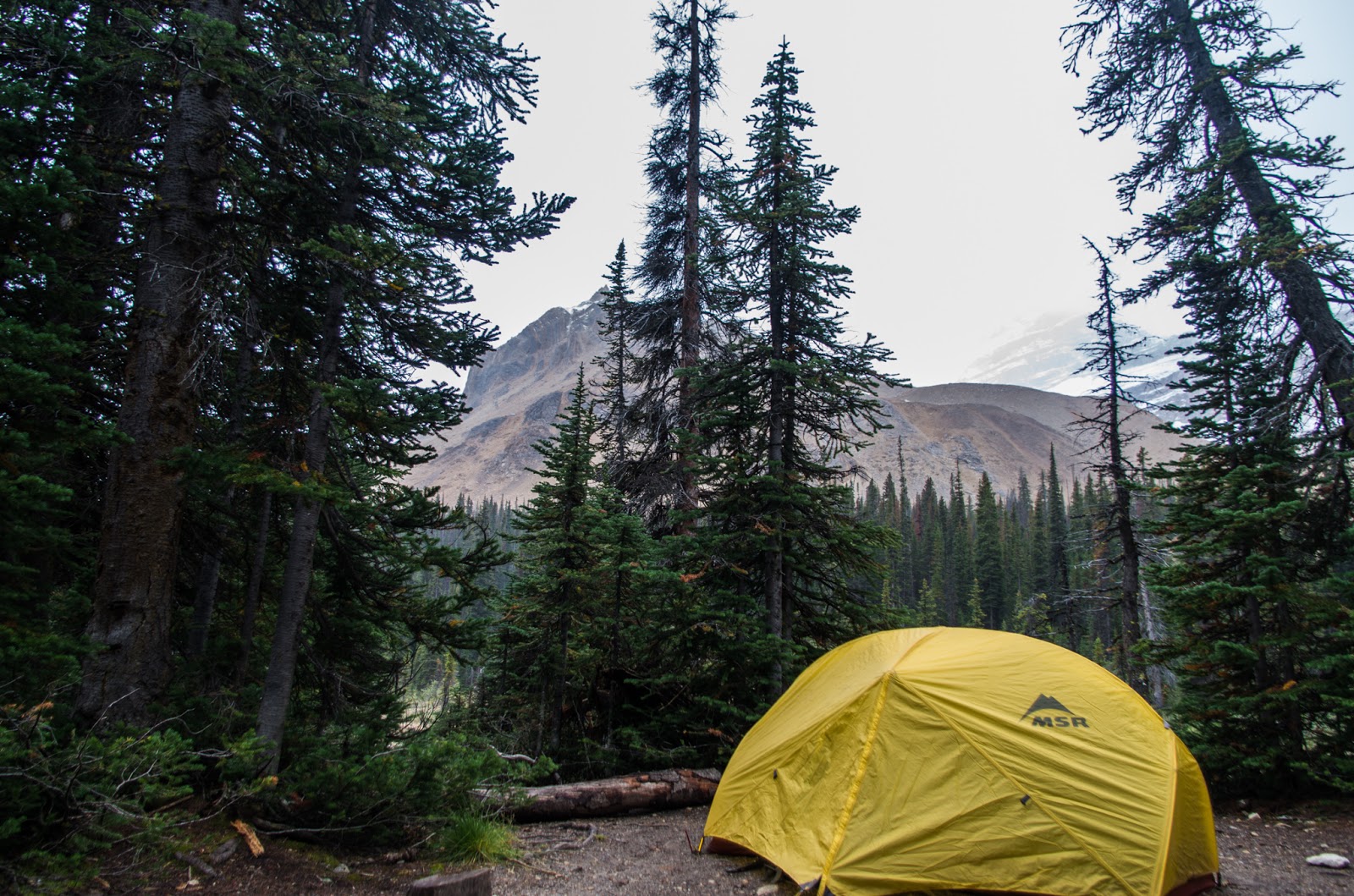
We arrived a couple of hours before dark at our campground near Stanley Mitchell Hut (
which you can book for a comfortable stay, here). SM was some big-shot in the mountaineering world of Canada (he was a co-founder of the Alpine Club of Canada). The hut was all rented out for the weekend, but no one was there yet. Since it was rainy and cold, we took the opportunity to cook our evening meal on their porch.

We are cold and damp. The cabin so inviting.
|

At least we would manage to have a hot meal.
|
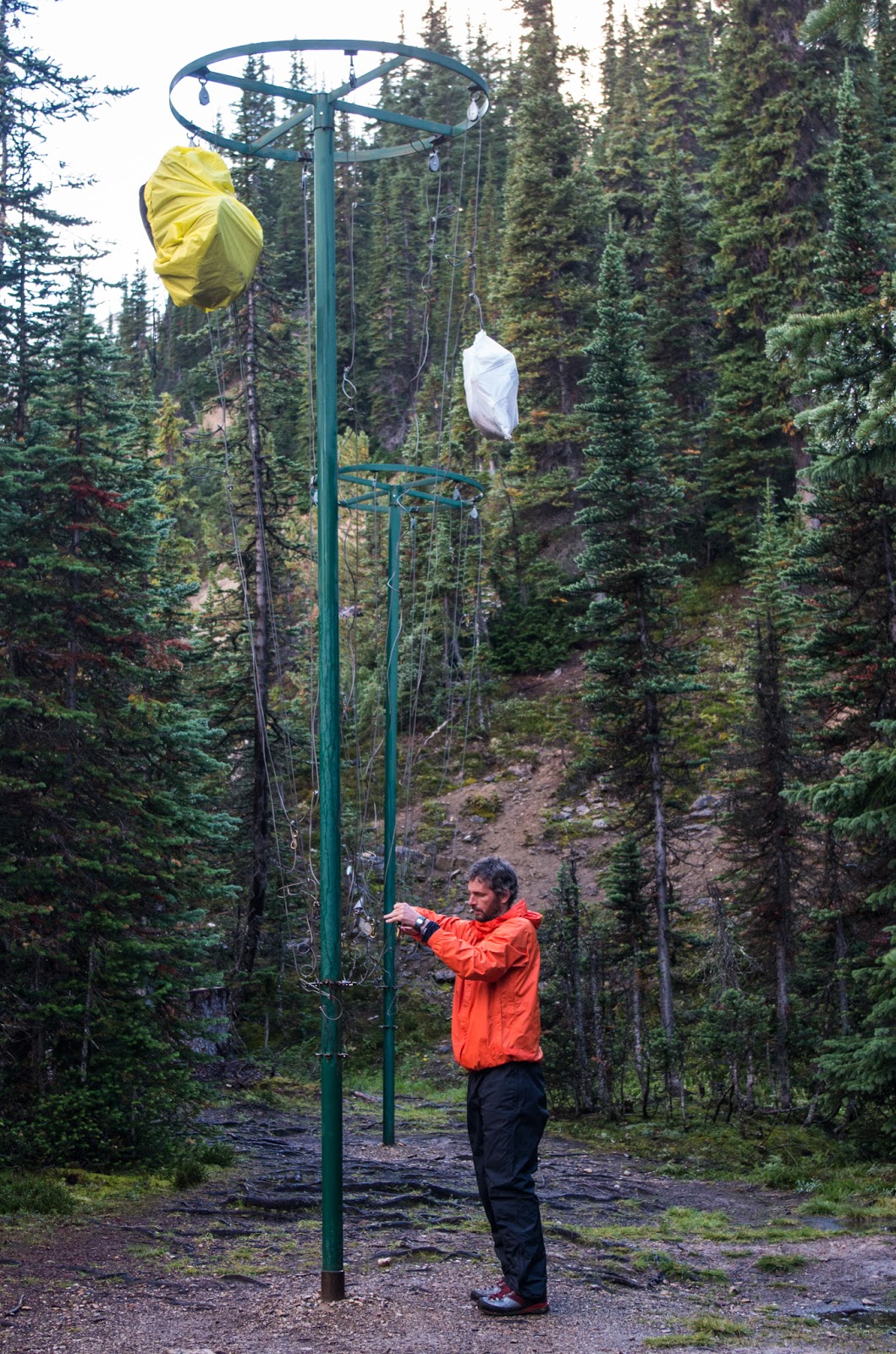 |
| High-Class Food |
The cabin would have been soooo nice and warm. Instead, though, we ran our food up the flagpole to see who'd salute and retired to our tiny tent for the night. It took a long time to get to sleep. The full moon kept peeking out from behind clouds and lighting up the whole campground. Also, two dudes eating trail food all day and then staying in a confined space. You have to be pretty tired to overcome all those obstacles. Oh, did I mention that my damn bedroll wouldn't hold air. #lumpyground

The next day was our "big adventure day." It was a chance for us to be away from more casual hikers and for Dave to get to some places he hadn't been before. I wasn't quite as sore as I would have anticipated, but the morning seemed just a little colder than I had wanted. I mean I brought the right clothes, but it is hard to be prepared for a hard frost on Sept 5th. On the upside, Dave's mug looks positively picturesque covered with the filthy stuff.
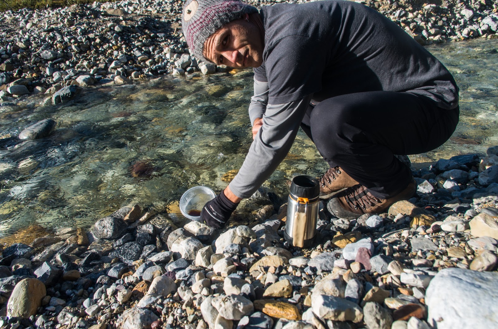 |
| Sometimes a thermos can be too good. An ice cold river cools my coffee. |
After coffee and oatmeal and a little stretching, our creaky joints started to function and we set off for the days mission. The campsite is still below the treeline, but only just. It was only about an hour until we were out on bare rock with a bit of scrub. Below and right, I'm standing on a beautiful and perfectly flat natural bridge over this waterfall. It was only a little ways off the path plus an insignificant climb on incredibly sharp rock.

We came from way down there...
|
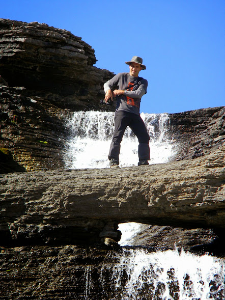
Pretty Pleased with this Perch.
|
A few hours in saw us arrive at
Kiwetinok Lake(map), which Dave tells me is the highest named lake in the Rockies. I believe him, because, well... I don't really know anything. I'm just along for the ride.
 |
| Dave checks the map while I photograph Kiwetinok Lake |
There are several interesting objectives nearby. Dave wanted to try some interesting climbs going up
Mt. Pollinger(map). Unfortunately, an early snowfall means that the climb we wanted most to do had become a lot more technical. We would certainly have needed
crampons(wiki) to safely negotiate several parts and my inexperience would also have been a liability that I think we were smart to avoid.
Instead we decided to find a route up Mt. Kerr. There are a lot of places to read up on routes that people have successfully done up these slopes. That really seems like the easy way, so we decided to make our own path.
 |
| Kiwetinok Lake as seen from a dead end on Mt. Kerr |
That didn't work out so well. Dave thinks we were only a stones throw from the top, but it might as well have been a mile. The fresh snow (and accidentally choosing nearly the most challenging face) stopped us short of our goal. The good news is (above) Dave finally managed to take a photo that actually captures how steep the slopes feel! That and I got to use an Ice Axe ;)
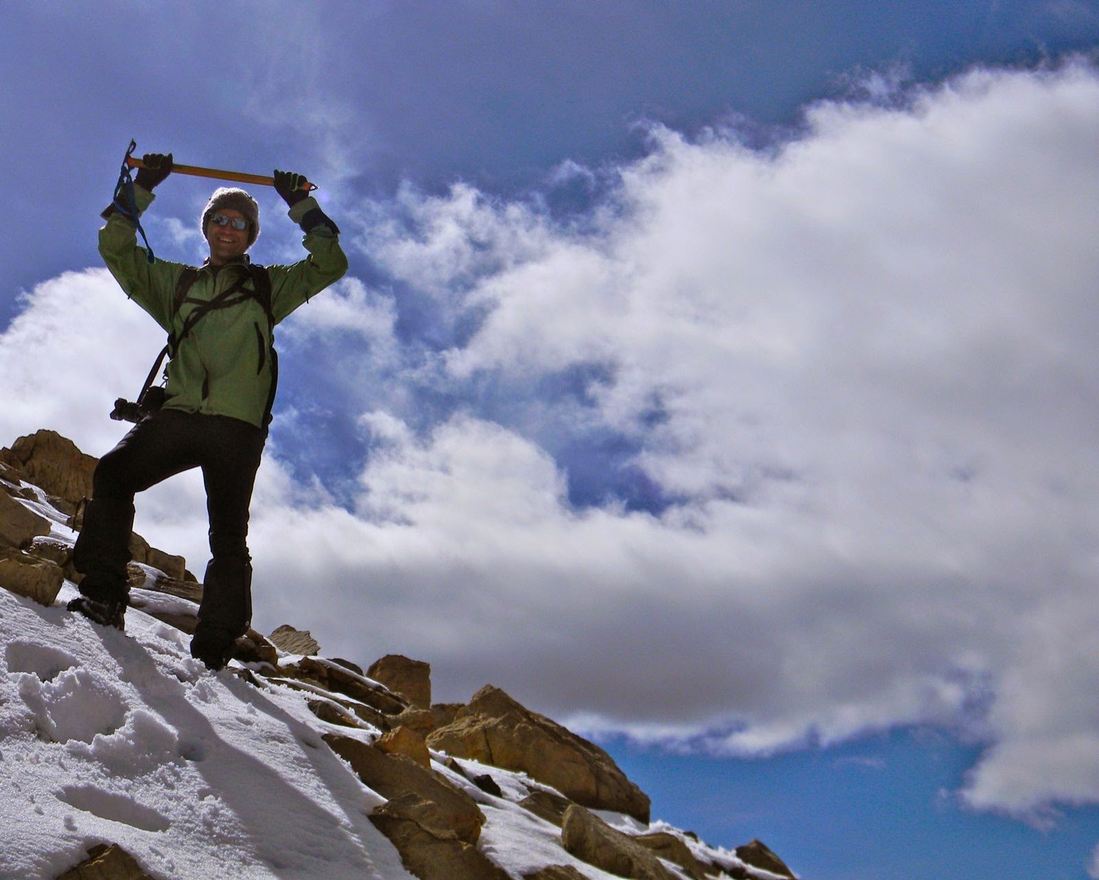 |
| No Sand People were harmed during the wielding of this axe |
We weren't particularly upset that we didn't summit. The journey is the real destination, and as you can see, we didn't suffer for great views. On the way down we took our time photographing a lot of the fabulous rock formations that we had passed by during our rush to get higher.
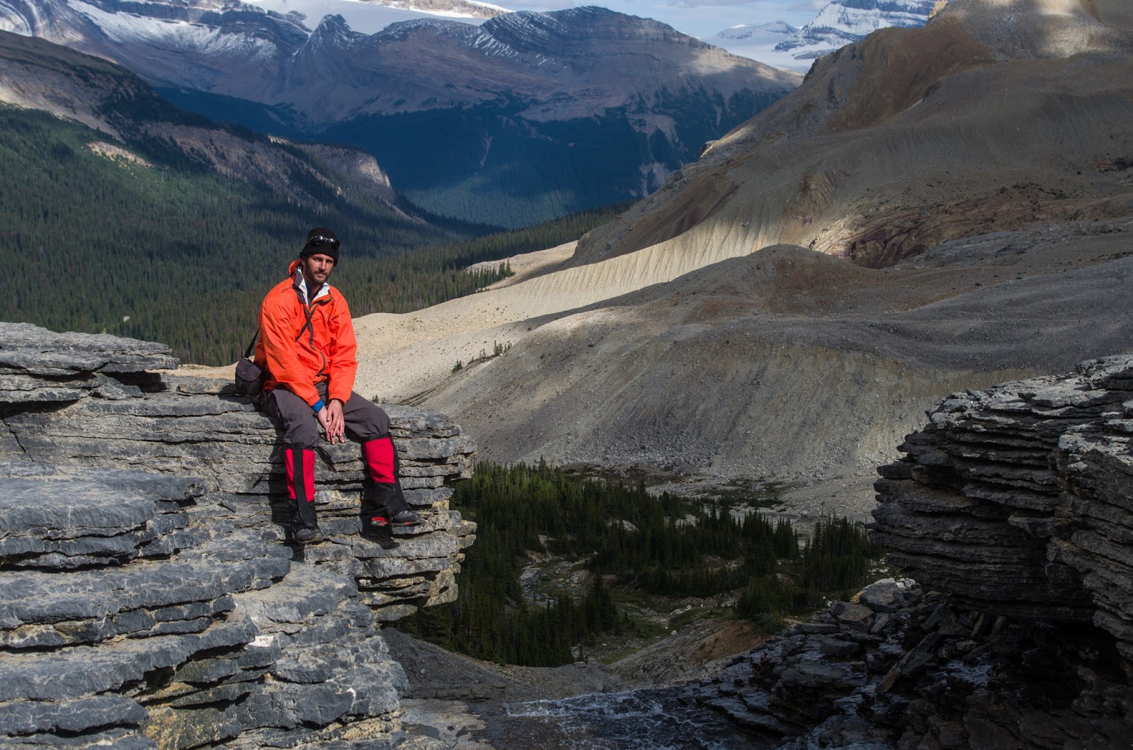 |
| An embarrassingly great view |
 |
| Confusing Angles |
We arrived exhausted back at our campsite. Fortunately, it was much warmer than the evening before. We were even tempted to do a bit more climbing to get in a good position to enjoy the sunset.
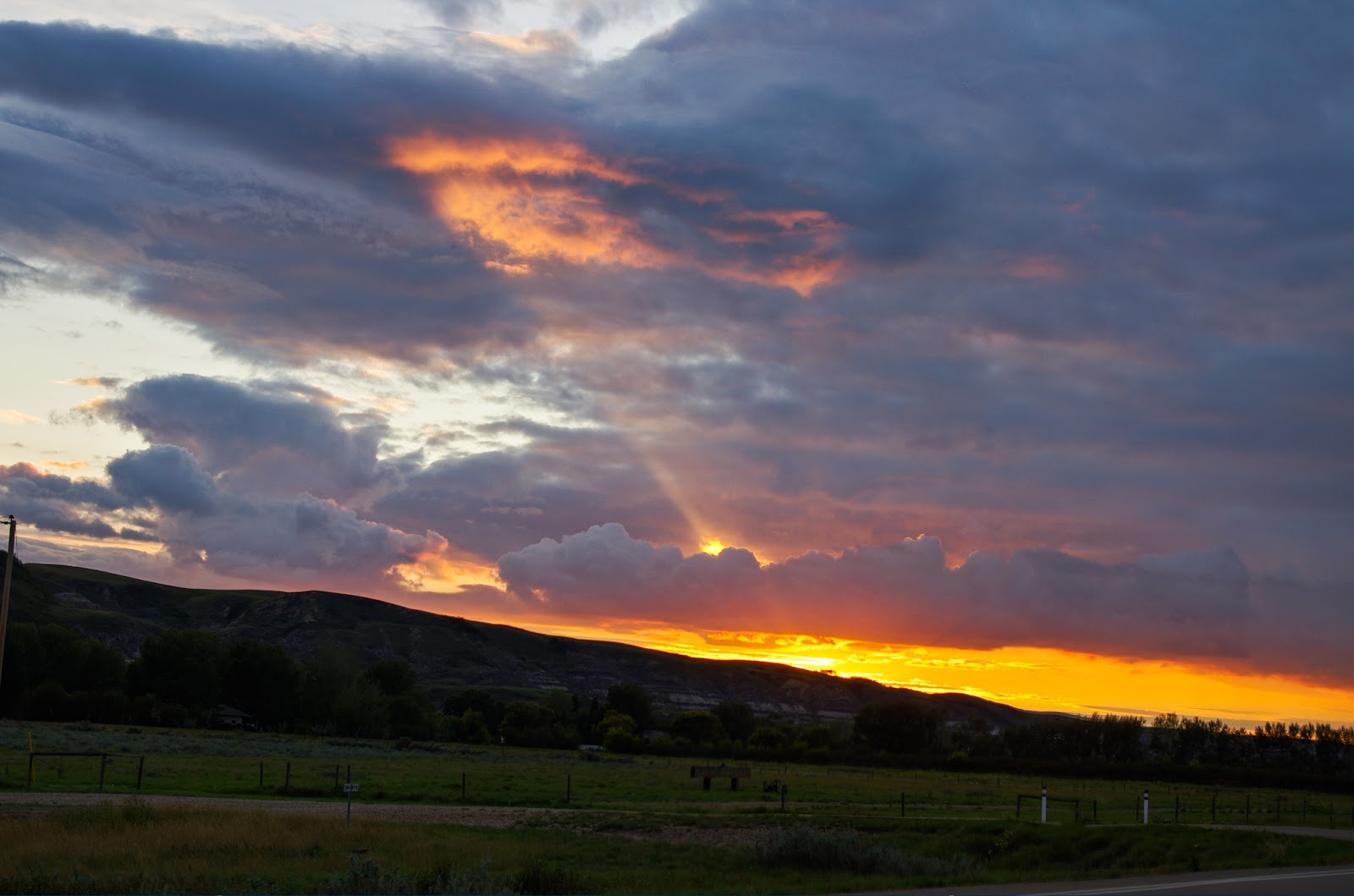
Now, sunsets in the mountains are a bit strange. At least, from a prairie perspective. Here, a sunset could last in glorious colour, spraying the sky's entire expanse, for an hour or more. In the mountains it is more fleeting. Much more. And, you don't quite know where to look. Little shocks of colour peek out frosting mountain tops or glaciers in glowing pink for sometimes only 30 seconds. It was a treat to experience something so different, but I'd be lying if I didn't say, I'll take a Saskatchewan sunset any time.
 |
| The sun has been long gone. And, it's actually mostly BEHIND me?!? |
The next day we had to make it back out of the valley. We wanted to have some time to relax, so we set off pretty early. Making my head really cold in this stream helped me to forget how sore my back was to become as we shouldered our heavy packs again.
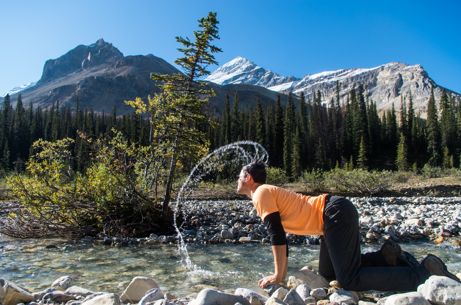 |
| My (in)Famous Head-dunking Ritual (and I saw Highlander only days before!) |
The lower path out of the valley didn't have the same spectacular views as on the way in. But, it was far more green. I spent a lot of time getting lush, mossy photos for Wendy. At one log in particular, Dave and I spent 20-30 minutes just taking close ups of the fungus. He called it the "Tiny Fairy Kingdom" to the amusement of some passing hikers.
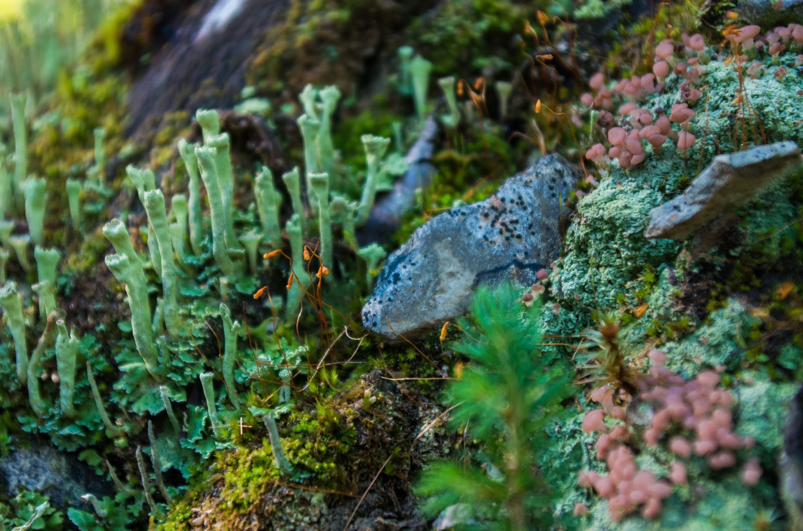 |
| The turrets are Powdered Funnel. I'm told this pinkish stuff is colloquially called "Fairy Puke" |
 |
| Quality time photographing the "Wee Folk" |
The real reason that the lower path through the valley exists isn't for the fungal photography, but rather because it is both easier and populated by several extraordinary waterfalls.
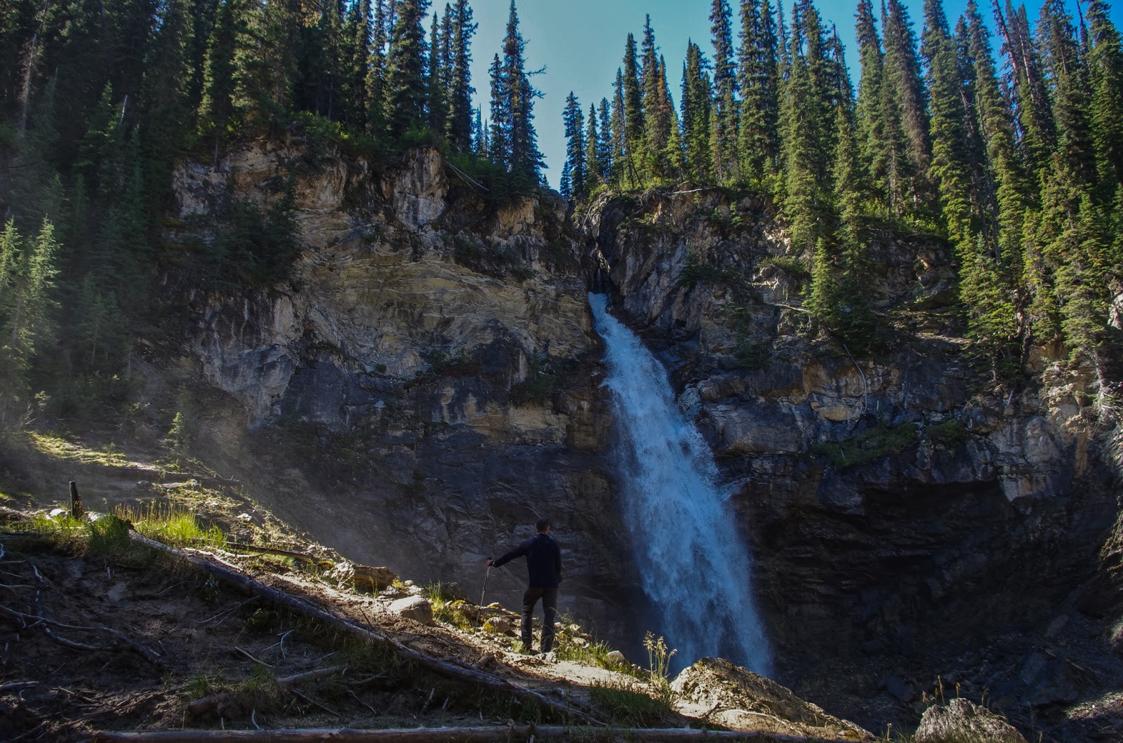 |
| Laughing Falls |
 |
| Duchesney Lake may have be beautiful once, or at a wetter time of year... |
 |
| A tree straight out of Lothlorien? |
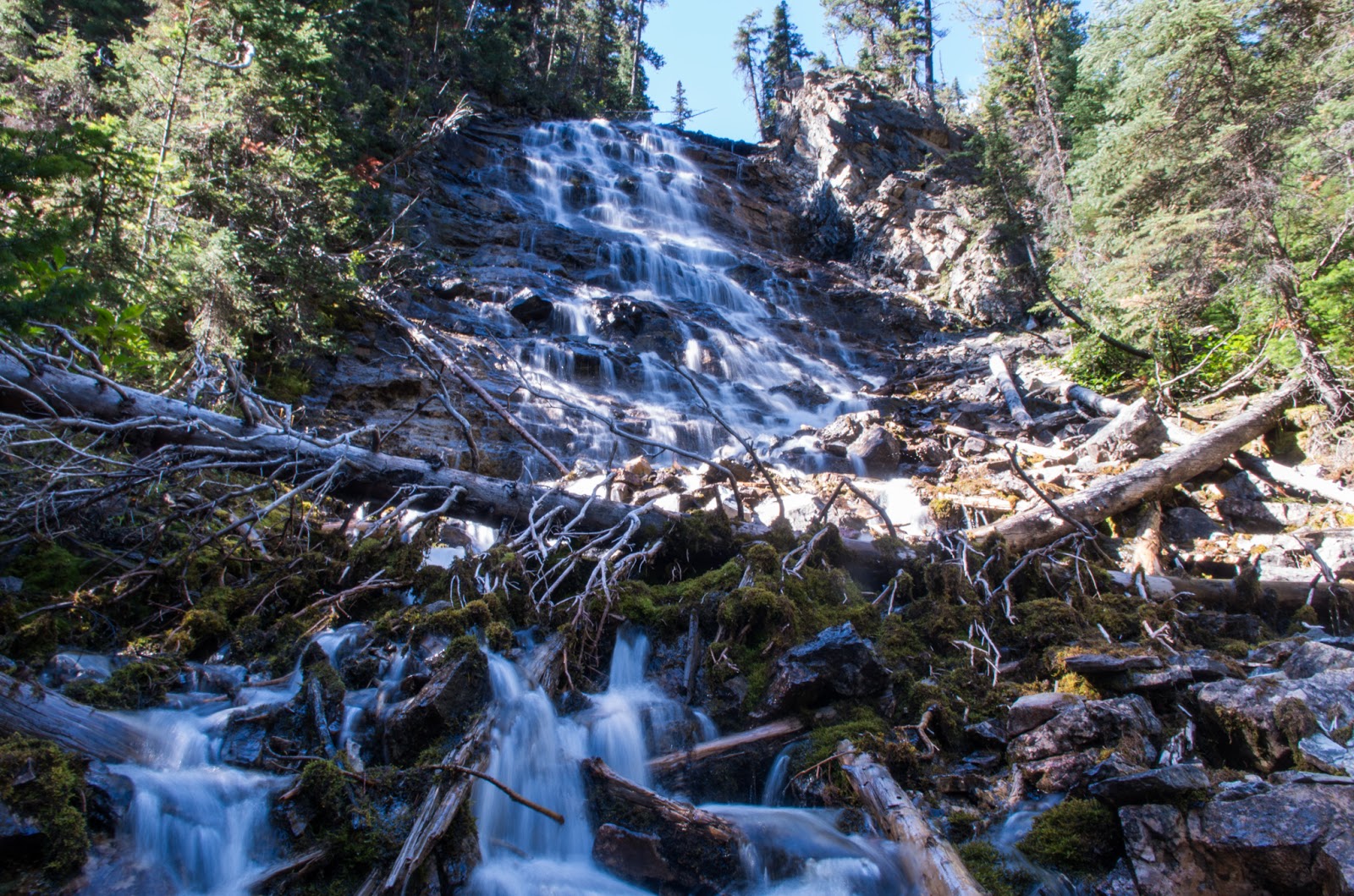 |
| Point Lace Falls |
Of course the Jewel of all of these falls is Takakkaw which, yes, I just had to stick my head in. I was looking forward to it for three days and it did not disappoint. Even though there is a glacier very near the top, it was not all that cold by the time it falls 384 m to the bottom. It is the second highest waterfall in Canada.
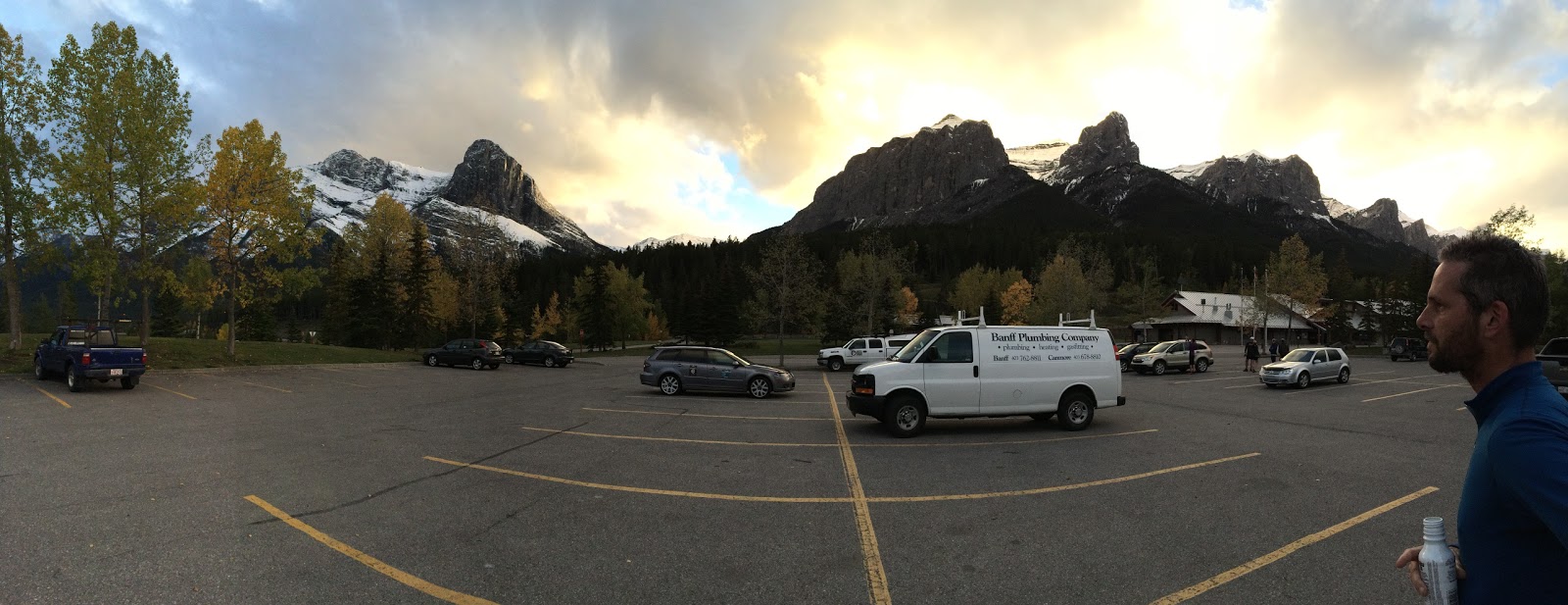
I dried off as we drove back to Canmore. That evening we had an enormous amount of pizza and watched some Star Trek TOS followed by an episode of Mystery Science Theatre 3000. It was way funnier than I thought would be possible.
 |
| I must have lost those mountains somewhere... |
In the morning I took some macro photos of some of Suzanne's flowers. They will be dead by now, but thanks to me, she will always have the memories ;)
Then I got home.
Thanks again, Dave for all the sore muscles and the great views. I can't wait for the next adventure.
264 photos from this trip can be found here


Comments